Yalung Ri Climbing
From (per person)
Yalung Ri Climbing Highlights
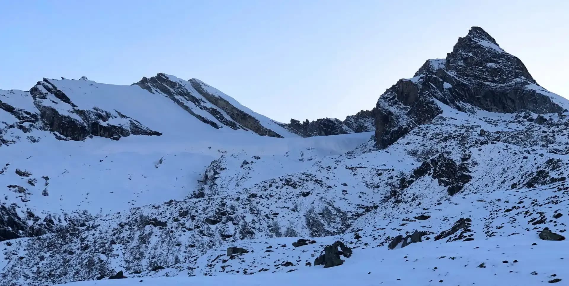
• Stand on Yalung Ri summit (5,630 m / 18,468 ft) for panoramic views of Gaurishanker Himal and the Rolwaling Valley
• Explore the remote and less-traveled Rolwaling Valley, one of Nepal's most pristine trekking corridors
• Visit the iconic Tsho Rolpa Lake (4,550 m), one of the largest glacial lakes in Nepal
• Hike to the sacred Omi Tso (4,800 m), known locally as the Lake of Milk
• Walk through dense rhododendron and mixed forests in the lower Rolwaling valley
• Pass through the traditional Sherpa villages of Simigaon, Beding, and Na Gaon
• Experience the cultural heritage of Sherpa communities, including monasteries and local homestays
• Enjoy views of high peaks including Mount Gaurishankar, Pharchamo, Chobutse, and Nachugo
Yalung Ri Climbing Overview
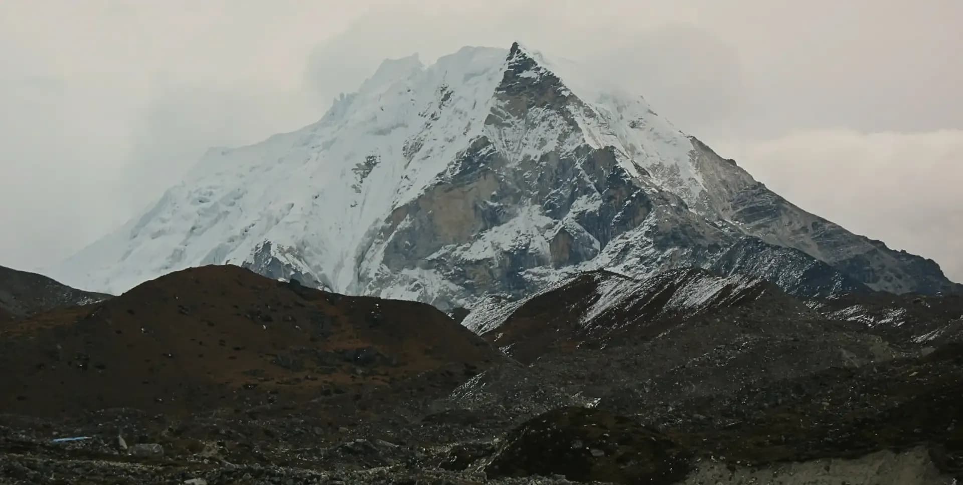
Yalung Ri (5,630 m / 18,468 ft) is a trekking peak located in the Rolwaling Valley of northeastern Nepal. This 13-day climbing program combines a scenic valley trek with a technical summit climb. It is well-suited for trekkers with prior high-altitude experience and good physical fitness.
The Rolwaling Valley lies northeast of Kathmandu, bordering China to the north. The Tashi Lapcha Pass separates it from the Everest region to the east. Despite being one of Nepal's most rewarding trekking routes, the Rolwaling Valley remains far less crowded than popular routes such as Everest or Annapurna.
The program begins in Kathmandu with equipment preparation. Trekkers then drive to Chet-Chet and begin a multi-day approach through forests and river valleys. The route passes through Simigaon, Kyalche, and Beding before reaching Na Gaon. From Na Gaon, side hikes visit both Omi Tso and Tsho Rolpa Lake.
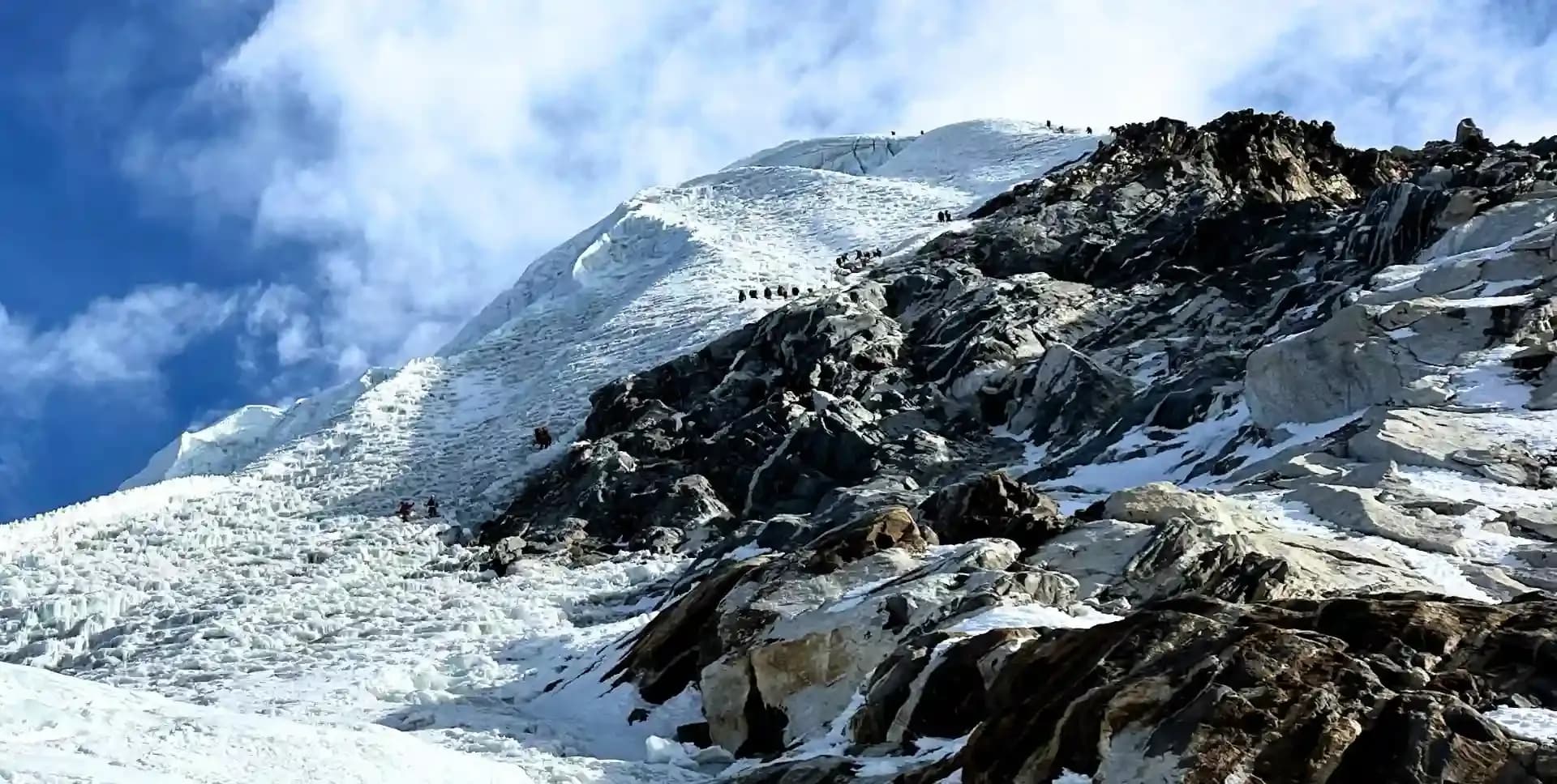
The summit push departs from Yalung Ri Base Camp at 4,900 m. Climbers ascend through rocky terrain, glacial sections, and snow slopes. Crampons, ropes, and basic technical equipment are required. The descent retraces the approach route back to Kathmandu over four days.
The Rolwaling Valley is home to significant cultural and natural heritage. The village of Beding is known throughout Nepal as a stronghold of Everest summiteers. Sherpa hospitality is central to the experience. Local teahouses and homestays offer simple but comfortable accommodation along the route.
The Gaurishanker Himal massif dominates the skyline throughout much of this trek. From higher elevations, trekkers and climbers also see Pharchamo, Ramdung, Chobutse, Nachugo, and Tengi Ragi Tau. The combination of cultural depth, alpine scenery, and summit challenge makes this program a memorable Himalayan experience.
Yalung Ri Climbing Itinerary
Tap any day to read the full programme.
Arrive at Tribhuvan International Airport in Kathmandu. A program representative meets all arriving participants and transfers them to their hotel. The remainder of the day is free for rest and exploring Kathmandu.
The evening offers an opportunity to walk around the Thamel district and gather any last-minute supplies. The guide conducts a brief welcome meeting to introduce the schedule and team. This is also a good time to review packing lists and confirm gear.
The team uses this full day in Kathmandu to prepare all climbing and trekking equipment. Our guide review gear lists and ensures each participant has the necessary items. Essential items include crampons, harness, ice axe, trekking poles, and layered clothing systems.
Kathmandu offers a wide range of trekking and climbing equipment shops, particularly in the Thamel area. Renting or purchasing any missing items is convenient on this day. The program team arranges any outstanding permits and provides a thorough briefing on the route ahead.
The group departs Kathmandu early in the morning, around 5:30 AM. The drive heads east through Dhulikhel and continues via Dolakha district to Chet-Chet. The total road distance is approximately 180 km, taking around eight to nine hours.
At Chet-Chet, the trek begins on a trail to the right of the road. Trekkers cross a suspension bridge over the Tama Kosi River. After crossing, the trail climbs steeply on cemented stone steps through a zigzag path. The ascent leads directly to the small Sherpa settlement of Simigaon.
Simigaon is a quiet hilltop village overlooking the river valley below. The walk from Chet-Chet to Simigaon takes approximately three hours. Teahouses in Simigaon provide basic meals and overnight lodging. This first day on the trail sets the tone for the days ahead.
The trail from Simigaon veers right from the lodge and descends through a dense rhododendron forest. After about half a kilometre, the path climbs gently before dropping to the riverbank. Trekkers pass a suspension bridge leading to Riku village but do not cross it.
Continuing the right-hand trail, the route climbs in zigzag patterns on stone steps toward Surmuche, a convenient lunch stop. After Surmuche, the trail rises through more switchbacks before reaching Dongang. Dongang is a small settlement with limited lodging. One teahouse serves as an overnight stop.
The day covers approximately 9.8 km of varied terrain, including forested paths and open ridge trails. Total trekking time is around six to seven hours. Dongang sits at the edge of the Rolwaling Valley and offers the first views into the deeper valley.
From Kyalche, the trail descends toward the Rolwaling Khola and stays close to the roaring river. The route passes a small steel box bridge, which trekkers cross before climbing sharply to Thangdingma. A small teashop at Thangdingma serves as a lunch stop.
After Thangdingma, the terrain changes noticeably. The landscape becomes drier and more barren as the trail gains elevation. The path continues close to the Rolwaling Khola and passes the ruins of Nyamare, a village heavily damaged during the 2015 earthquake.
Beyond Nyamare, a wooden bridge leads to Changmi Kha, where a traditional Kani gateway marks the entrance to the upper valley. The largest tree in the Rolwaling Valley stands here. From this point, it takes around 45 minutes to reach Beding, the largest village in the upper Rolwaling Valley.
Beding is a significant cultural stop. The village is home to many accomplished Himalayan climbers, including several Everest summiteers. A monastery in Beding serves the local Sherpa community and is worth a brief visit. Teahouses provide comfortable lodging and warm meals.
The trail from Beding to Na Gaon is the easiest day of the approach. The path makes gentle switchbacks on the left side of the Rolwaling Khola as it flows down from the upper glacial basin. The landscape is open and rocky, with the valley walls rising steeply on both sides.
Along the route, trekkers encounter the largest rock formation in the Rolwaling Valley, surrounded by prayer flags. On the left hillside above, a rock face bears an ancient painting of Guru Rinpoche. This sacred artwork is a highlight of the walk and reflects the deep Buddhist heritage of the region.
Na Gaon, also called Naa Village, serves as the main acclimatization base and departure point for upper valley objectives. The village sits at 4,180 m and offers views of glacial peaks, including those of the Gaurishanker Himal. Trekkers rest and acclimatize here before the days ahead.
This is a full-day acclimatization hike to two of the most significant lakes in the Rolwaling Valley. The team starts after an early breakfast. The trail climbs from Na Gaon toward the upper glacial basin, passing through moraine terrain and open alpine slopes.
Omi Tso, the Lake of Milk, sits at 4,800 m and is considered a sacred lake by the local Sherpa and Tibetan Buddhist communities. The lake's milky-blue color comes from glacial sediment suspended in the water. Views from this elevation include the peaks of the Gaurishanker Himal and surrounding ridges.
Tsho Rolpa Lake lies at 4,550 m and is one of the largest and most well-known glacial lakes in Nepal. The Rolwaling Valley draws its name partly from this iconic body of water. Tsho Rolpa is a glacially fed lake that has grown significantly in recent decades due to glacial melt. It presents a striking turquoise color against the grey moraine.
After visiting both lakes, the team descends back to Na Gaon for the night. The total hike duration is approximately five to six hours. This day plays a critical role in preparing the body for the higher altitude of Yalung Ri Base Camp and the summit.
The team breaks camp early and departs Na Gaon toward the Tsho Rolpa Lake corridor. After crossing a box bridge, the trail follows the right side of the Rolwaling Khola upstream. The path gradually narrows as it enters more technical terrain above the lake.
From the midpoint, the trail begins with a steep and sustained climb toward Yalung Ri Base Camp. The ascent gains significant elevation quickly and demands steady pacing. Trekkers move through boulder fields and across rocky glacial terrain. The climb is relentless but rewarded with expanding mountain views.
As elevation increases, the panorama opens to reveal major peaks of the Rolwaling region. Cho Oyu and Pharchamo appear prominently to the north and east. The Gaurishanker Himal looms to the south. After approximately four hours of climbing, the team arrives at a small porter shelter at Yalung Ri Base Camp.
Base Camp sits at 4,900 m on a rocky platform with direct views toward the summit. The team sets up camp, prepares gear for the following day's summit push, and rests early. Hydration, warm food, and a good night's sleep are essential for the demanding day ahead.
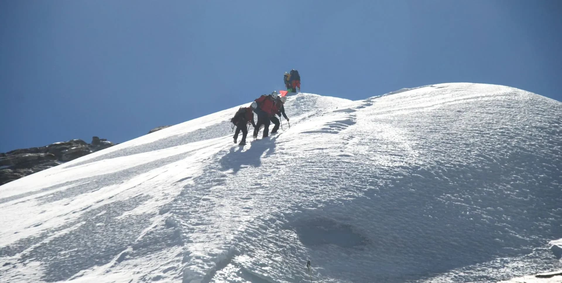
Summit day begins before dawn. The team rises at approximately 3:00 AM for a light breakfast and gear preparation. Departure from Base Camp happens in the early hours, typically around 4:00 AM, to ensure the summit is reached in the morning hours when conditions are safest.
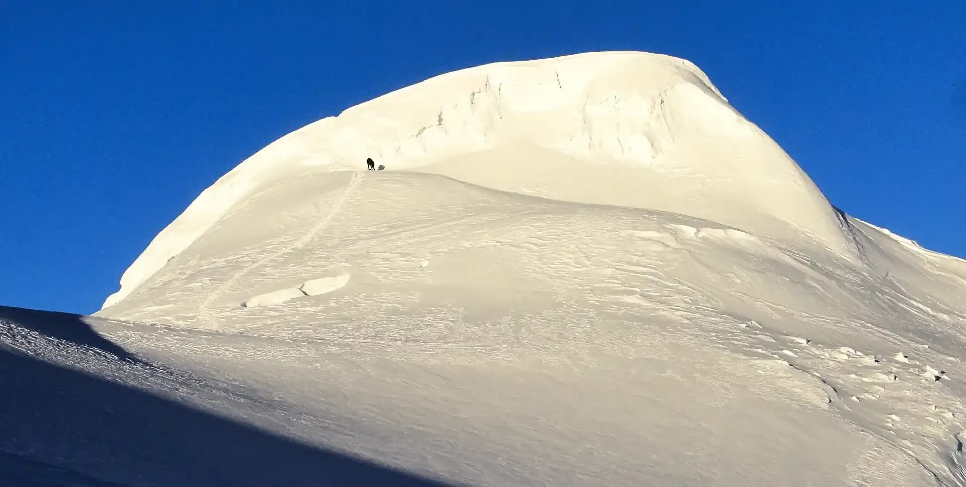
The ascent to Yalung Ri at 5,630 m follows a technical route through rocky terrain and glaciated sections. Climbers use crampons, harnesses, and fixed ropes on the steeper sections. The route passes through snow and ice slopes in the upper portion. The final push to the summit requires steady breathing and careful footwork.
From the Yalung Ri summit, panoramic views extend across a vast range of Himalayan peaks. The Gaurishanker Himal stands prominently to the south. Cho Oyu, Everest, Pharchamo, Dorje Lakpa, and numerous other peaks fill the horizon. The summit experience offers one of the most rewarding views in the Rolwaling region.
After some time on the summit for photographs and celebration, the team begins the descent. The descent back to Base Camp takes approximately two to three hours. From Base Camp, the team continues all the way down to Na Gaon. The total descent from summit to Na Gaon takes roughly five to six hours. This is a long and physically demanding day, covering significant elevation loss.
The trail from Na Gaon retraces the approach route downstream along the Rolwaling Khola. The descent is consistent and well-established, making for a smooth but long walking day.
The route passes through familiar landmarks including the Guru Rinpoche rock painting and the prayer flag rock. The trail then continues through Beding, where the team may stop for a meal before pushing on. Beyond Beding, the path descends further along the river through hamlets and isolated farmsteads. The trail crosses to the south side of the river near Thangdingma and continues downstream to Dongang for the night.
From Dongang, the trail continues downstream along the Rolwaling Khola, descending further to Kyalche at 2,791 m, where the team may stop for a tea break. The lower altitude and warmer temperatures provide welcome relief after several nights at high camp.
From Kyalche, the trail skirts above the Rolwaling Khola and continues downstream. Long sections of stone steps descend the ridge slopes toward Simigaon. The trail passes the small settlement at Surmuche before dropping toward the valley floor. The walk from Kyalche to Simigaon takes approximately four to five hours. The landscape transitions back to denser forest as the team loses elevation, with rhododendron and mixed temperate trees lining the trail in the lower sections. Simigaon is a small hilltop village with a few teahouses providing food and accommodation.
The final trekking day descends from Simigaon to the Tama Kosi River valley. The trail drops steeply on stone steps to the suspension bridge over the Tama Kosi. After crossing the bridge, the team continues a short distance to Chet-Chet, where a vehicle waits.
The drive from Chet-Chet back to Kathmandu covers approximately 180 km via Dolakha and Dhulikhel. The journey takes around eight to nine hours. The team arrives in Kathmandu by late afternoon. After the final descent and long drive, participants have time to rest, clean up, and enjoy a meal in the city.
The program concludes today. A guide or program representative arranges airport transportation based on each participant's flight schedule. Check-in for international flights at Tribhuvan International Airport is typically three hours before departure.
Yalung Ri Climbing Route Map
Route Map
Altitude Profile
Inclusions
• Private airport transfers in Kathmandu (arrival & departure)
• Round-trip private jeep transfer between Kathmandu and Chet-Chet
• 3 nights at a 3-star Kathmandu hotel (twin-share, bed & breakfast)
• 8 nights twin-share lodge accommodation during the trek
• 1 night camping at Yalung Ri Base Camp
• Full-board meals throughout the trek (breakfast, lunch, dinner, tea & coffee)
• Drinking water and hot water for bottle refills at all lodge stops
• All required permits (Gaurishankar Conservation Area Permit & TIMS Card)
• Senior English-speaking, government-licensed climbing guide, fully covered (wages, meals, accommodation & insurance)
• Assistant climbing guide for every 3 clients, fully covered
• One porter per 2 clients (max 15 kg/client), fully covered
• Emergency medical kit throughout the trek
• Supplemental oxygen, mask & regulator for emergency use
Exclusions
• Yalung Ri summit bonus of USD 100 per client for lead/assistant climbing guides
• International airfare to/from Kathmandu
• Nepal entry visa fee
• Personal travel, medical & emergency evacuation insurance (mandatory; arrange prior to departure)
• Lunch & dinner in Kathmandu
• Additional Kathmandu nights beyond the itinerary (available on request)
• Single room supplement or forced single room charges, where applicable
• Personal trekking & climbing gear (sleeping bag, boots, trekking poles, down jacket, harness, crampons, etc.)
• Alcoholic beverages, specialty hot drinks & bottled/canned drinks during the trek
• Lodge extras charged locally: hot showers, battery charging & Wi-Fi
• Any personal expenses not listed under inclusions
• Guide & porter gratuities (recommended: USD 100/guide, USD 65/porter — at client's discretion)
Date & Price
Want a Private or Tailored Trip?
Book on your own dates, bring a private group, or adjust the itinerary. Our team replies within 24 hours.
Reviews
Write a review
No reviews yet. Be the first to share your experience.
Gallery
No gallery images available.
From (per person)
People also viewed