Langtang Trek
From (per person)
Langtang Trek Highlights
• Walk through the scenic Langtang Valley, flanked by glaciers and steep ridgelines on both sides
• Climb Kyanjin Ri (4,773 m / 15,659 ft) for a full 360-degree panorama of the Himalayan range
• Trek through dense mixed forests that shelter the rare and endangered Red Panda
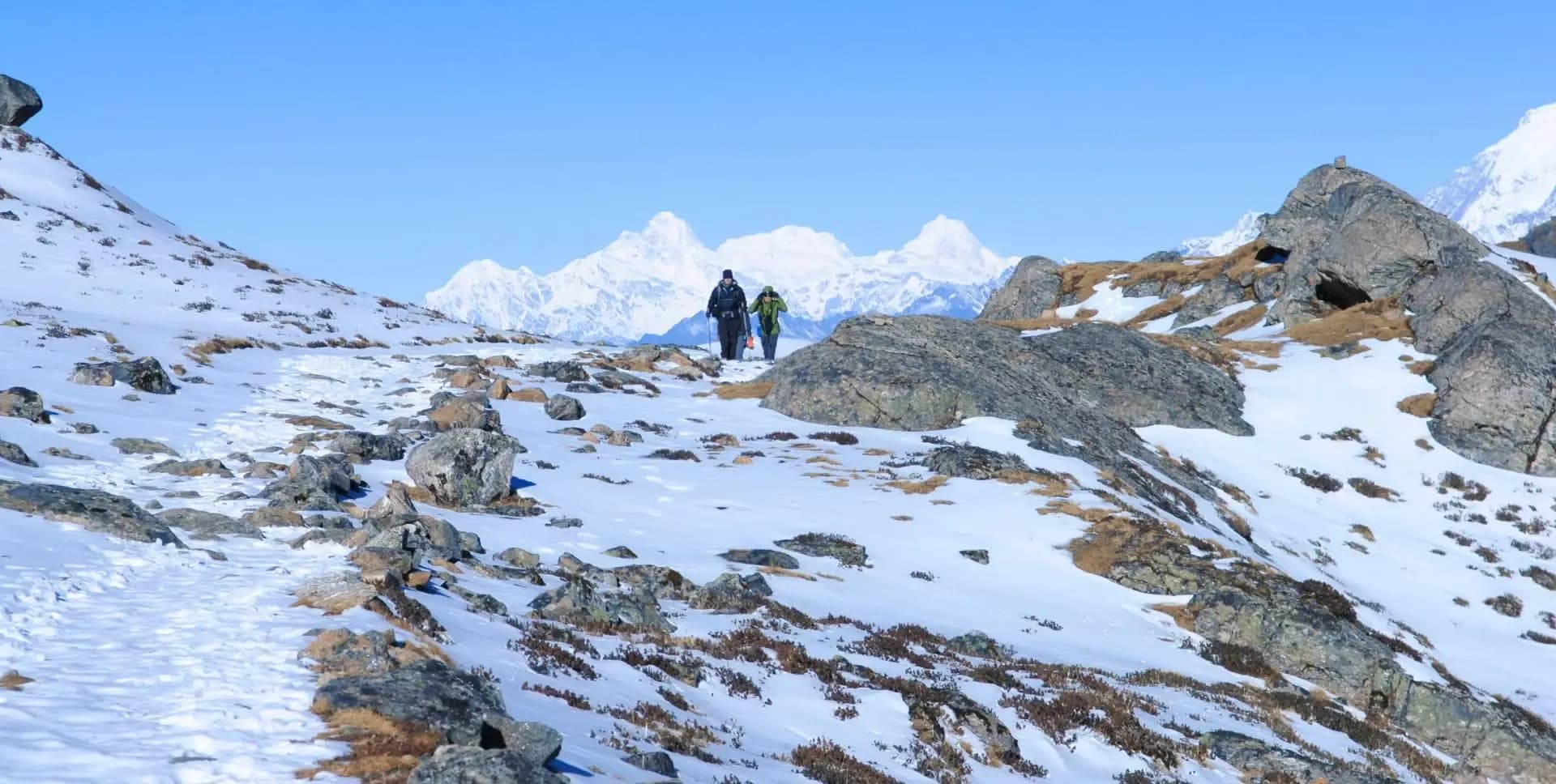
• Observe close-up glacial landscapes around Langtang Lirung (7,227 m), visible from mid-valley
• Cross traditional Tamang villages including Langtang Village, Mundu, and Sindum
• Pass centuries-old mani walls, chortens, and prayer flags throughout the upper valley
• Explore Langtang Village at 3,400 m, rebuilt and restored after the 2015 earthquake
• Experience authentic mountain teahouse culture and Tamang hospitality throughout the route
• Visit the historic yak cheese factory at Kyanjin Gompa, producing traditional dairy products
Langtang Trek Overview
The Langtang Trek is one of Nepal's most popular and accessible high-altitude trekking routes. Located directly north of Kathmandu, the Langtang Valley lies within easy reach of the capital by road. The proximity makes it an efficient choice for trekkers with limited time who still want a genuine Himalayan experience.
The valley runs east to west and sits close to the Nepal-Tibet border. The Langtang Khola, a major glacial river, flows through the center of the valley and serves as the main navigational reference along the trail. Trekkers follow the river upstream from the roadhead at Syabrubesi, gaining altitude progressively over several days.
The route passes through Langtang National Park, established in 1976 and covering 1,710 square kilometers. The park protects a wide range of ecosystems, from subtropical forests at lower elevations to alpine tundra near the Tibetan border. The Red Panda inhabits the temperate mixed forests of the mid-altitude zones and is one of the most sought-after wildlife sightings on the Langtang Trek.
Langtang Lirung at 7,227 m dominates the northern skyline of the valley. This peak is one of the major summits visible from the trail without requiring any detours. Ganchenpo at 6,387 m stands prominently to the east, particularly visible in the upper valley near Kyanjin Gompa.
The Tamang people are the primary inhabitants of the Langtang Valley. Their culture reflects strong Tibetan Buddhist traditions, visible in the gompas, mani walls, and prayer flags that line the trail. Tamang villages in the region include Langtang Village, Mundu, and Sindum. The Tamang Heritage Trail, which branches from the main Langtang Trek route at Syabrubesi, is a popular extension for cultural trekkers.
The 2015 Nepal earthquake caused severe damage to Langtang Village and surrounding settlements. A catastrophic landslide buried much of the original village. Reconstruction efforts over the following years have rebuilt the community, and the village continues to receive trekkers. The experience of visiting rebuilt Langtang Village carries a sense of community resilience and recovery.
Kyanjin Gompa at 3,860 m is the northern terminus of the main Langtang Trek itinerary. The monastery at Kyanjin Gompa is an active religious site and one of the oldest in the region. A long-standing cheese factory adjacent to the monastery produces yak cheese and butter, sold to trekkers and exported to Kathmandu markets.
Kyanjin Ri at 4,773 m is the highest point reached on this 10-day program. The peak is a minor summit accessible as a day hike from Kyanjin Gompa without technical climbing equipment. The ascent takes approximately two hours and delivers one of the most expansive mountain panoramas available on any trekking route in Nepal.
The Langtang Trek operates on a teahouse-based system throughout its length. Teahouses along the route provide accommodation in basic dormitory or private rooms with simple attached or shared facilities. Meals on the trail typically include Nepali staples like dal bhat, as well as noodles, pasta, rice dishes, and a range of hot drinks. Facilities are more limited at higher elevations, but the essentials remain available at every stop.
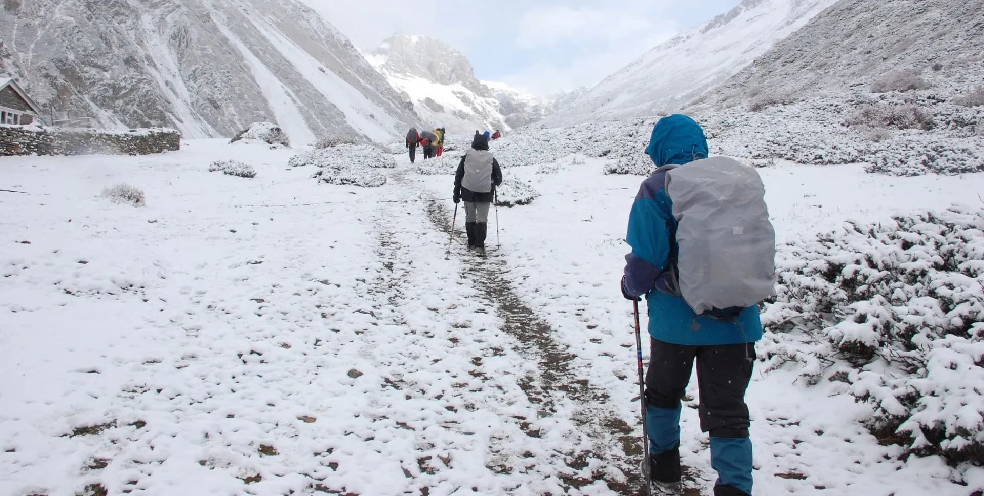
The best trekking seasons for the Langtang Trek are spring (March to May) and autumn (September to November). Spring brings warm temperatures, blooming rhododendrons in the lower forests, and good visibility. Autumn follows the monsoon season with clear skies and fresh mountain views. Winter trekking is possible but requires preparation for cold temperatures, especially above 3,000 m.
Langtang Trek Itinerary
Tap any day to read the full programme.
Arrive at Tribhuvan International Airport in Kathmandu, the capital of Nepal. A representative from the trekking agency meets arriving guests at the arrivals hall and transfers them to their hotel by private vehicle. The remainder of the day is free for rest, acclimatization, and orientation.
Departure from Kathmandu takes place early in the morning. The drive heads northwest through the suburb of Balaju before climbing to the rim of the Kathmandu Valley. The road passes through the Kakani area, where views of Ganesh Himal, the Langtang range, and Manaslu appear on clear mornings.
The route descends from Kakani to Trisuli Bazaar, following the Trisuli River northward. The Trisuli River is a popular rafting destination, and the gorge below the road offers frequent river views. The total distance from Kathmandu to Syabrubesi is approximately 117 km.
Beyond Trisuli, the road narrows and the surface become rougher. The route continues through Dhunche, the district headquarters and the location of the Langtang National Park entry checkpoint. From Dhunche, a further 15 km of winding mountain road leads down to Syabrubesi in the Bhote Kosi valley.
Syabrubesi sits at 1,460 m at the confluence of the Bhote Kosi and Langtang rivers. The town is a lively staging post with teahouses, small shops, and basic facilities. It serves as the trailhead for the Langtang Trek, the Tamang Heritage Trail, and the Gosaikunda route. Total driving time from Kathmandu is approximately 5 hours. Overnight stay is at a teahouse in Syabrubesi.
The first day on trial begins in Syabrubesi. The route descends initially to a river-level camping area before turning north toward the main valley. A suspension bridge crosses the Bhote Kosi, and the trail then climbs steeply away from the river toward the forest zone above.
The initial climb passes through a deciduous forest zone that is particularly rich in bird species. Common birds along this section include various laughing thrushes, flycatchers, sunbirds, and minivets. The forest canopy also supports troops of grey langur monkeys, frequently seen from the trail. This zone is recognized as a habitat for the Red Panda, which favors the mixed temperate forests of the lower Langtang Valley.
The trail continues to rise over a rocky ridge before meeting the path coming down from the village of Thulo Syabru on the western ridge. Beyond this junction, the gradient eases as the trail approaches the Langtang Khola. The sound of the river increases as the trail moves through the narrowing gorge.
A wooden bridge crosses the Langtang Khola to the north bank. The trail then climbs again through the wooded gorge, passing a series of waterfalls before reaching Langtang View Hotel, a popular mid-point for rest stops. The trail ascends further to reach Lama Hotel at 2,470 m.
Lama Hotel is a cluster of teahouses in a forest clearing beside the river. Several accommodation options are available, ranging from basic to comfortable by trail standards. The surrounding forest remains a productive area for wildlife watching in the early morning and evening. Trek duration from Syabrubesi is approximately 6 hours with an elevation gain of roughly 1,010 m.
The trail from Lama Hotel continues upstream along the Langtang Khola. The path climbs steadily as the valley opens and vegetation transitions from dense forest to more open mixed woodland. Views of the surrounding ridges begin to appear as altitude increases.
The trail reaches Ghora Tabela at 2,970 m, roughly midway through the day's walk. Ghora Tabela translates as 'horse stable' and was historically used as a livestock grazing area. This flat, open meadow now holds a few teahouses and an army check post. The first clear sightings of Langtang Lirung's summit appear above the northern ridgeline from this point.
Above Ghora Tabela, the valley broadens considerably. The trail passes through Thangshep and enters the wide upper valley where the Langtang Khola meanders across a gravelly floodplain. The landscape becomes more open and the sky more expansive as trekkers move into the subalpine zone.
The route passes through dry-stone walls and open yak pastures before reaching Langtang Village at 3,400 m. The village displays classic Tibetan-influenced architecture with flat-roofed stone houses and carved wooden window frames. Mani walls and chortens mark the entrance and approach to the settlement. Langtang Village was largely destroyed by the 2015 earthquake and subsequent landslide but has since been substantially rebuilt. Several functional teahouses and lodges now serve the trekking community here. Trek duration from Lama Hotel is approximately 6 hours.
The morning walk from Langtang Village to Kyanjin Gompa is the shortest trekking day of the Langtang Trek in terms of distance. However, the altitude gain and panoramic scenery make it among the most memorable sections of the route.
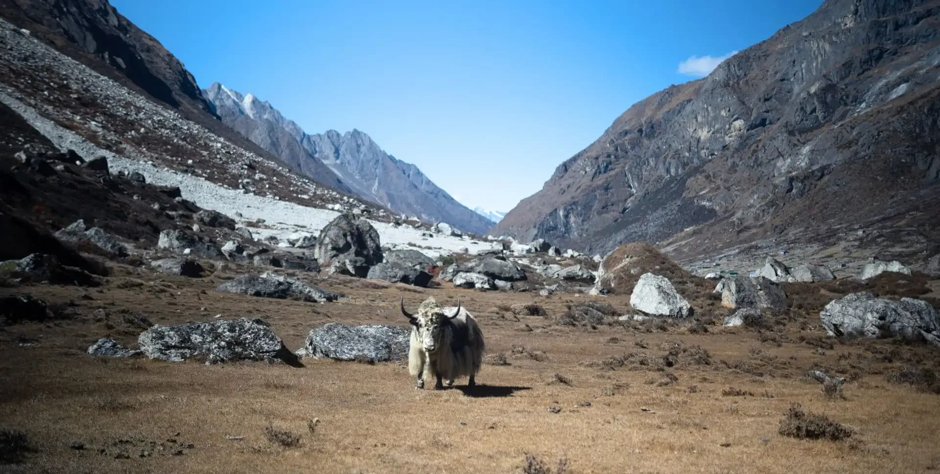
The trail leaves Langtang Village and crosses wide yak pastures. Herds of yaks and naks are commonly seen grazing across the valley floor in this section. Streams from lateral glaciers feed into the main river across the floodplain. Prayer flags on rocky outcrops mark the edges of the grazing zones.
Ganchenpo at 6,387 m forms a strong visual reference to the east throughout this part of the valley. The trail passes through the Tamang settlements of Mundu and Sindum, both at approximately 3,410 m. Mani walls line the path on both sides, with carved prayer stones indicating the high-altitude Buddhist tradition of the region.
A wooden bridge crosses a glacial tributary before the trail climbs onto a moraine above the valley floor. Kyanjin Gompa becomes visible as the moraine levels out, with the monastery and its surrounding buildings framed by the Langtang range. The arrival at Kyanjin Gompa at 3,860 m offers views of glaciated peaks in nearly every direction.
Kyanjin Gompa includes the working monastery, a yak cheese factory, weather station, and a collection of teahouses and lodges. The cheese factory has operated for several decades and continues to produce traditional yak cheese sold to trekkers. In the afternoon, trekkers can hike toward the Langtang Lirung Glacier at approximately 4,300 m, a one-hour ascent offering close access to the glacial ice. Trek duration from Langtang Village is approximately 3 hours.
The day hike to Kyanjin Ri represents the highest elevation point of the entire Langtang Trek program. The ascent begins in the early morning, ideally before sunrise, to take advantage of the clearest light conditions and the morning sky on the surrounding peaks.
The trail begins behind the village and climbs the rocky ridge rising directly above Kyanjin Gompa. The initial section is moderately steep but on a clear, well-used path. As the trail gains height, vegetation disappears and the route becomes rocky and exposed. The ascent from Kyanjin Gompa to the summit takes approximately 2 hours at a steady pace.
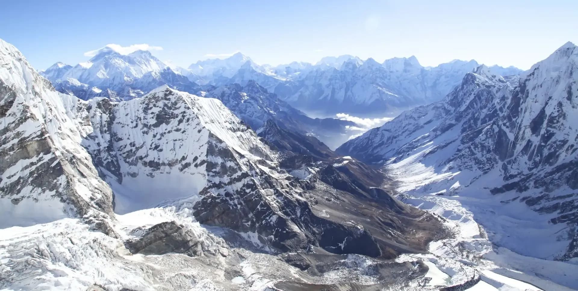
From the summit of Kyanjin Ri at 4,773 m, the view covers the full Langtang range from east to west. Langtang Lirung at 7,227 m dominates the northern skyline. Ganchenpo, Langshisa Ri, and multiple other peaks along the Tibetan border are clearly visible. The Langtang Valley spreads out far below, with the river visible as a silver line through the valley floor. This panoramic viewpoint is widely recognized as one of the finest accessible from any trekking route in the Nepal Himalayas.
The descent from Kyanjin Ri takes approximately 1 hour and returns to the monastery. The rest of the morning and afternoon offers time to explore the cheese factory, walk around the moraines, or visit the monastery interior. The day remains based at Kyanjin Gompa, and trekkers spend a second night at this elevation.
The descent from Kyanjin Gompa begins on the same trail used during the ascent on Days 04 and 05. The route retraces the path through the upper valley, crossing the wooden bridge over the glacial tributary before dropping down through the yak pastures. Tamang settlements of Sindum and Mundu are passed again on the way down.
The trail continues through Langtang Village and descends below the broadening valley section. As the trail re-enters the tree zone below Ghora Tabela, the forest closes in and the temperature rises slightly. The forest section between Ghora Tabela and Lama Hotel offers productive conditions for wildlife observation, including possible Red Panda sightings in the early morning.
Rimche sits just below Lama Hotel at 2,420 m and provides teahouse accommodation. The settlement is a quieter alternative to the slightly larger Lama Hotel cluster. The forest surrounding Rimche is dense mixed temperate woodland, continuing to support the biodiversity of the lower Langtang Valley. Trek duration for this descent day is approximately 5 to 6 hours, covering a descent of around 1,440 m from Kyanjin Gompa.
The final trekking day of the Langtang Trek descends from Rimche to Syabrubesi. The route follows the lower trail through the river gorge, passing bamboo stands, cascading waterfalls, and the familiar forest of the Bhote Kosi valley. The descent is gradual in the upper sections and steeper in the gorge below.
The suspension bridge over the Langtang Khola is crossed again, reversing the approach from Day 03. Below the bridge, the trail re-enters the lower subtropical zone before reaching the junction above Syabrubesi. The final descent into town completes the trekking circuit of the Langtang Trek.
Syabrubesi is reached after approximately 3 to 4 hours of walking. Trekkers have the afternoon to wash gear, repack bags, and rest before the long drive to Kathmandu the following day. The teahouses in Syabrubesi offer hot showers, charging facilities, and a wider menu than the trail above. Overnight stay in Syabrubesi.
Departure from Syabrubesi takes place in the morning after breakfast. The vehicle follows the same mountain road used on the outbound journey, passing through Dhunche and climbing back up toward the Kakani ridge. The road section between Syabrubesi and Trisuli takes the most time due to the narrow and winding conditions.
From Trisuli Bazaar, the road improves as it approaches the Kathmandu Valley. The final section descends through Kakani and winds down into the valley. Kathmandu is typically reached in approximately 5 hours, depending on road conditions and traffic entering the city.
Arrival in Kathmandu brings the active trekking program to a close. Trekkers are transferred directly to their hotel. The evening is free for a final dinner, souvenir shopping in the Thamel area, or rest. Trekkers with early departure flights should confirm morning transfer arrangements with their agency tonight.
The final day of the Langtang Trek program concludes with departure from Kathmandu. A private vehicle transfers trekkers to Tribhuvan International Airport based on individual flight schedules.
Trekkers are advised to arrive at the airport with adequate time for international check-in procedures. The Langtang Trek program ends formally at the point of airport transfer.
Langtang Trek Route Map
Route Map
Altitude Profile
Inclusions
• Private airport transfers in Kathmandu (arrival and departure)
• Round-trip private jeep transfer between Kathmandu and Syabrubesi
• 2 nights at a 3-star Kathmandu hotel (twin-share, bed and breakfast)
• 7 nights twin-share lodge accommodation during the trek
• Full-board meals throughout the trek (breakfast, lunch, dinner, tea and coffee)
• Drinking water and hot water for bottle refills at all lodge stops
• All required permits (Langtang National Park entry permit and TIMS Card)
• Senior English-speaking, government-licensed lead guide with full coverage (wages, meals, accommodation and insurance)
• Assistant guide for every 4 clients, fully covered
• One porter per 2 clients (max 15 kg/client), fully covered
• Emergency medical kit throughout the trek
• Supplemental oxygen, mask and regulator for emergency use
Exclusions
• International Airfare to/from Kathmandu
• Nepal entry visa fee
• Personal travel, medical and emergency evacuation insurance (mandatory; arrange prior to departure)
• Lunch and dinner in Kathmandu
• Additional Kathmandu nights beyond the itinerary (available on request)
• Personal trekking gear and clothing (sleeping bag, boots, trekking poles, down jacket, etc.)
• Alcoholic beverages, specialty hot drinks and bottled/canned drinks during the trek
• Lodge extras charged locally: hot showers, battery charging and Wi-Fi
• Any personal expenses not listed under inclusion
• Guide and porter gratuities (recommended: USD 100/guide, USD 65/porter — at client's discretion)
Date & Price
Want a Private or Tailored Trip?
Book on your own dates, bring a private group, or adjust the itinerary. Our team replies within 24 hours.
Reviews
Write a review
No reviews yet. Be the first to share your experience.
Gallery
No gallery images available.
From (per person)
People also viewed