Rolwaling Valley Trek
From (per person)
Rolwaling Valley Trek Highlights
• Trek through the remote and less-traveled Rolwaling Valley in northeastern Nepal.
• Visit Tsho Rolpa Lake (4,550 m / 14,928 ft), one of Nepal's largest and most scenic glacial lakes.
• Hike to Yalung Ri Base Camp (4,900 m / 16,067 ft) for panoramic views of the Rolwaling range.
• Witness close-up views of Gaurishankar Himal, Chobutse, Pharchamo, Ramdung, and other prominent peaks.
• Experience traditional Sherpa hospitality, local food, and centuries-old monastery culture.
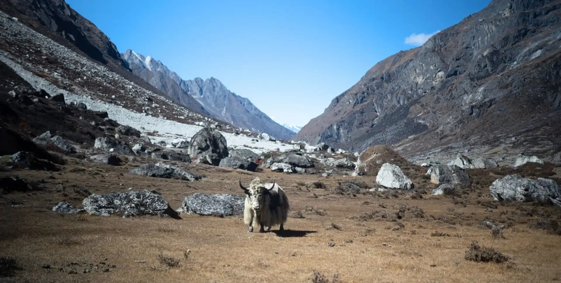
• Walk through dense rhododendron forests and observe diverse wildlife including yaks and white langurs.
Rolwaling Valley Trek Overview
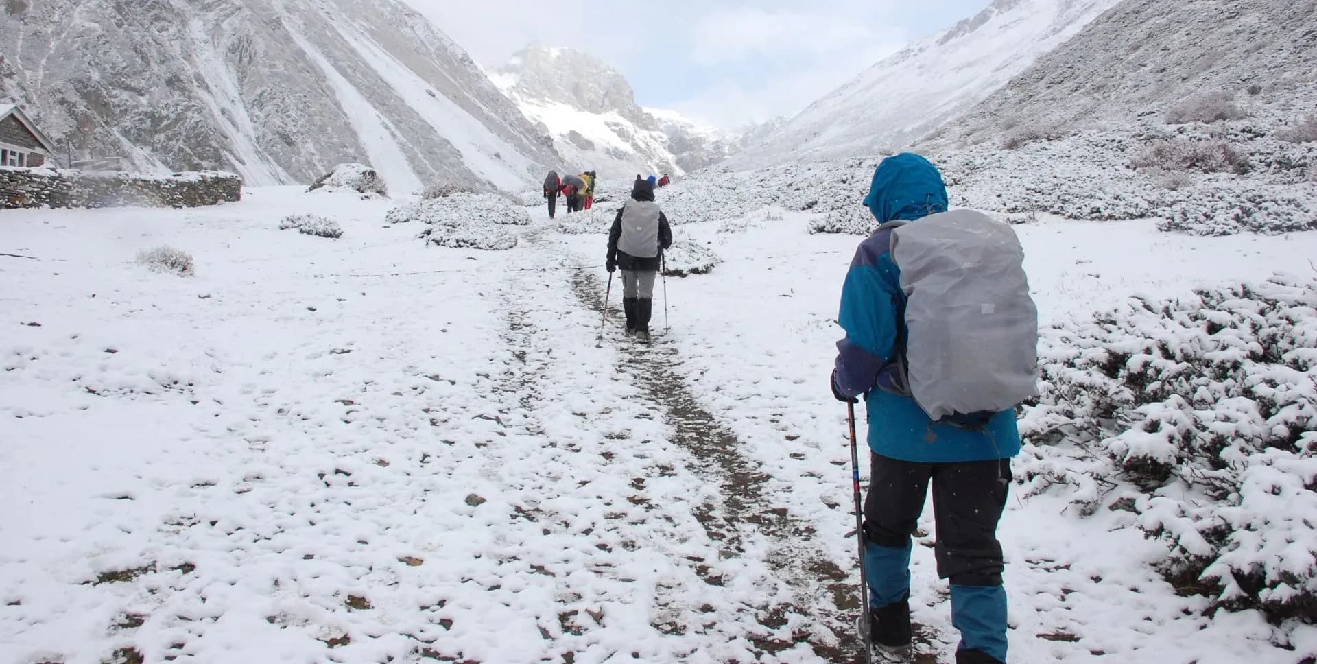
The Rolwaling Valley Trek takes you into one of Nepal's most secluded mountain regions. The valley sits in the northeastern part of the country, bordering China to the north. The famous Tashi Lapcha Pass separates it from the Everest region to the east. This route remains far less crowded than Annapurna or Everest treks, making it ideal for those seeking solitude and raw mountain scenery.
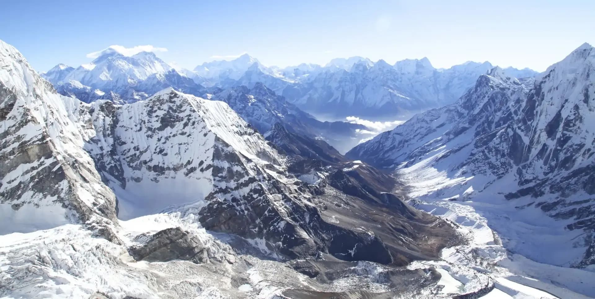
The valley is home to several major peaks. Gaurishankar Himal dominates the skyline throughout much of the trek. Other prominent peaks include Pharchamo, Ramdung, Nachugo, Chobutse, Khangtari, and the technically demanding Mount Tengi Ragi Tau. Trekkers gain dramatic views of these mountains at multiple points along the route, especially from Yalung Ri Base Camp.
The Rolwaling Valley Trek leads to Tsho Rolpa Lake, one of the largest glacial lakes in Nepal. The lake sits at 4,550 m and offers a striking setting surrounded by glaciers and high ridges. Na Gaon serves as the base for both the lake visit and the hike to Yalung Ri Base Camp. These two high-altitude excursions are the highlights of the entire program.
The trek begins and ends at Chet-Chet, accessible by road from Kathmandu. The trail follows the Rolwaling Khola river upstream through forests, terraced fields, and high alpine terrain. Along the way, trekkers pass through the villages of Simigaon, Dongang, and Beding. Each settlement offers a glimpse into the daily life of the Sherpa people who have inhabited this valley for generations.
The valley supports a wide range of flora and fauna. Thick rhododendron and pine forests cover the lower slopes. Higher up, the terrain opens into dry, rocky landscapes typical of high-altitude Himalayan environments. Wildlife such as white langurs, snow leopards, and yaks inhabit the valley. Seasonal wildflowers bloom along the trail from late spring through early summer.
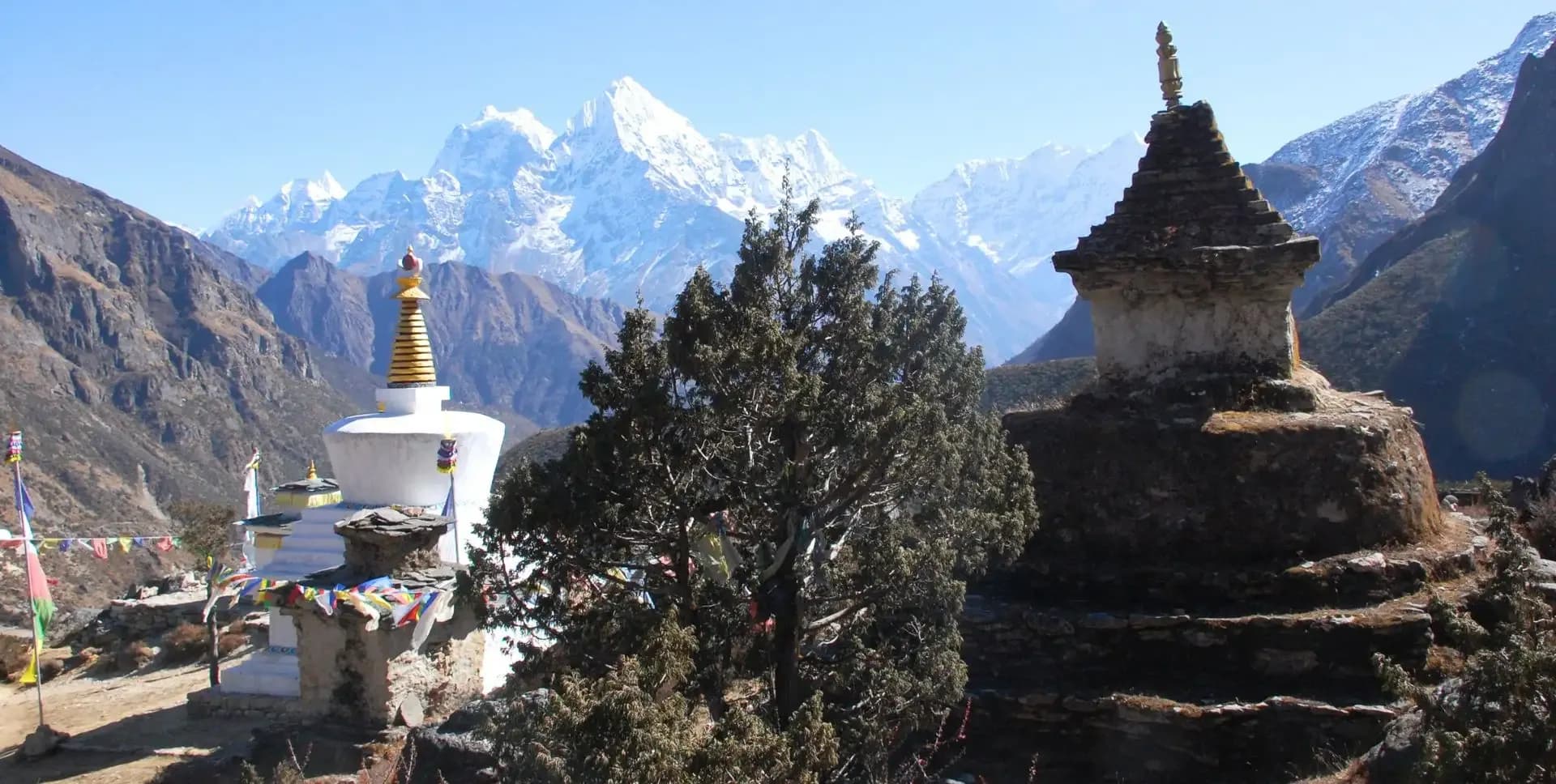
Beding village is a cultural centerpiece of the trek. Locals here maintain close ties to Buddhist traditions, and the village monastery is an important place of worship. The Rolwaling Valley is also known in local folklore as the land of the Yeti, and residents still share stories about sightings in the surrounding high terrain. The valley's isolation has helped preserve these traditions over the centuries.
This 12-day program includes arrival and departure in Kathmandu, a scenic drive to the trailhead, and a gradual ascent through varied terrain. The itinerary includes a dedicated acclimatization day at Beding to prepare trekkers for higher elevations. The best seasons to undertake the Rolwaling Valley Trek are spring (March to May) and autumn (September to November).
Rolwaling Valley Trek Itinerary
Tap any day to read the full programme.
Arrive at Tribhuvan International Airport in Kathmandu. A representative meets all arriving guests and transfers to the hotel. The rest of the day is free for personal preparation.
This is a good time to confirm gear, check equipment, and rest after the journey. The team briefs trekkers on the upcoming route, safety guidelines, and what to expect during the Rolwaling Valley Trek.
The group departs Kathmandu early in the morning, around 5:30 AM. The drive heads toward Dhulikhel and continues through Dolakha district to Chet-Chet. The total road distance covers approximately 180 km and takes around 8 to 9 hours. The route passes through rural towns and scenic river valleys.
From Chet-Chet, the trek begins on a trail heading right toward a suspension bridge over the Tama Kosi River. After crossing the bridge, the path climbs steeply on cemented stone steps. This ascent leads to Simigaon, a small settlement perched on a hillside. The walk from Chet-Chet to Simigaon takes approximately 3 hours.
The trail departs Simigaon and veers right from the lodge, descending through a lush rhododendron forest before climbing gently toward the bank of the Tama Kosi River. Along the way, trekkers pass a suspension bridge leading to Riku village but continue on the right without crossing.
The route then ascends via zigzag stone steps toward Surmuche, a welcoming settlement and a common lunch stop for trekkers. After lunch, the trail climbs steadily, winding through forested ridges with gradually opening views of the distant Rolwaling range, before finally reaching Dongang.
Dongang is a small, peaceful settlement offering limited teahouse accommodation — a quiet end to a rewarding day on the trail. Today's walk covers approximately 9 to 10 km and takes around 6 to 7 hours.
Today's trail follows the Rolwaling Khola river closely. The path crosses a small steel box bridge and then climbs sharply to Thangdingma, a small teahouse settlement used for lunch. From Thangdingma, the terrain shifts dramatically. The landscape becomes dry and barren, typical of higher Himalayan elevations.
The trail passes through Nyamare, a village largely destroyed in the 2015 earthquake. From Nyamare, the path crosses a wooden bridge and climbs gently to Changmi Kha, where a Kani gateway marks the entrance to upper Rolwaling. The largest tree in the valley stands near this point. From here, Beding is about 45 minutes away.
Beding is the largest permanent settlement in the Rolwaling Valley. The village is well known as a hub for Everest summiteers, with many households having at least one member who has climbed Everest. A Buddhist monastery sits at the center of village life. Today's trek covers approximately 10 km and takes around 6 hours.
The group spends the full day at Beding to allow the body to adjust to the altitude. Acclimatization is essential before moving to higher elevations at Na Gaon and the Tsho Rolpa Lake area. Trekkers can take short walks around the village to stay active without overexerting.
The Beding monastery is worth visiting during this rest day. Local guides can explain the significance of the religious site and the surrounding landscape. Views of Gaurishankar Himal are clearly visible from the village on clear days. The day also offers time to interact with local Sherpa residents and learn about their way of life.
The morning trail from Beding follows the Rolwaling Khola upstream on gentle switchbacks. The path crosses a large boulder draped in prayer flags, a notable landmark in the valley. Further along the left side of the trail, a painting of Guru Rinpoche appears on an uphill rock face. Na Gaon is a small high-altitude settlement and takes 3 to 4 hours to reach from Beding.
After lunch at Na Gaon, continue toward Tsho Rolpa Lake. The trail follows the Rolwaling Khola further upstream. Tsho Rolpa Lake is one of Nepal's largest glacial lakes and sits at 4,550 m. The lake is a striking blue-green color and is bordered by glaciers on its upper end. The round trip from Na Gaon to Tsho Rolpa Lake takes approximately 3 to 4 hours total.
Today is the highest point of the Rolwaling Valley Trek. The trail starts from Na Gaon and crosses a box bridge over the Rolwaling Khola. The path initially follows the right bank of the river toward Tsho Rolpa Lake. Midway to the lake, the trail branches left and begin a steep ascent toward Yalung Ri Base Camp.
The climb to Yalung Ri Base Camp is demanding but rewarding. The gradient is steep and relentless, but the views improve significantly with every gain in altitude. The panoramic vista from the base camp includes Cho Oyu, Pharchamo, Chobutse, and the full Rolwaling range. IFMGA-certified guides have built a small porter shelter at the base camp. The group rests here before descending back to Na Gaon.
The return descent retraces the same trail and takes 2 to 3 hours. The total hiking duration for the day, including ascent and descent, is approximately 6 hours. This is a challenging but memorable day with some of the best mountain scenery of the entire trek.
The descent from Na Gaon begins with a return through Beding. From Beding, the trail follows the Rolwaling Khola downstream, passing through familiar terrain that reveals new details on the return journey.
After lunch at Thangdingma, the group continues downstream to Dongang, a small, forested settlement offering basic teahouse accommodation. The forested stretch near Dongang provides welcome shade after the open alpine terrain above. Today's walk takes approximately 5 to 6 hours and is mostly downhill.
Today's trail continues downstream from Dongang back toward Simigaon. The path skirts above the Rolwaling Khola, passing through sections of dense rhododendron forest before descending on long stretches of stone steps. The descent is gradual and well-marked, with views of the valley opening up as trekkers lose altitude and the landscape transitions from forested gorge to the terraced hillsides surrounding Simigaon.
Simigaon is a quiet hilltop village with basic teahouse facilities and sweeping views over the surrounding countryside. The familiar trail back provides a good opportunity to appreciate the lower-altitude scenery once more. Today's walk takes approximately 4 to 5 hours. After arriving at Simigaon, trekkers rest and prepare for the drive back to Kathmandu the following morning.
The morning begins with a descent from Simigaon down to the Tama Kosi River. The path crosses the suspension bridge and continues to Chet-Chet along the riverbank. The descent from Simigaon to Chet-Chet takes approximately 2 to 3 hours. On arrival at Chet-Chet, the group boards the vehicle for the return drive to Kathmandu.
The drive back covers approximately 180 km and takes 8 to 9 hours. The group typically arrives in Kathmandu by late afternoon or early evening. After the final days on the trail, trekkers can rest comfortably at the hotel. A farewell dinner is a common way to close the Rolwaling Valley Trek experience.
This day is kept free for individual exploration or optional sightseeing in Kathmandu. The city is home to seven UNESCO World Heritage Sites. Guided tours are available upon request for both individual travelers and groups.
Key sites to visit include Pashupatinath Temple, the largest Hindu shrine in Nepal. Boudhanath Stupa is one of the largest Buddhist stupas in the world and a major pilgrimage site.
The program concludes with a transfer to Tribhuvan International Airport. A representative accompanies each guest to the departure terminal. Check-in times depend on the airline schedule, but trekkers should plan to arrive at the airport at least three hours before flight departure.
Rolwaling Valley Trek Route Map
Route Map
Altitude Profile
Inclusions
• Private airport transfers in Kathmandu (arrival and departure)
• Round-trip private jeep transfer between Kathmandu and Chet-Chet
• 3 nights at a 3-star Kathmandu hotel (twin-share, bed and breakfast)
• 8 nights twin-share lodge accommodation during the trek
• Full-board meals throughout the trek (breakfast, lunch, dinner, tea and coffee)
• Drinking water and hot water for bottle refills at all lodge stops
• All required permits (Gaurishankar Conservation Area Permit and TIMS Card)
• Senior English-speaking, government-licensed lead guide with full coverage (wages, meals, accommodation and insurance)
• Assistant guide for every 4 clients, fully covered
• One porter per 2 clients (max 15 kg/client), fully covered
• Emergency medical kit throughout the trek
• Supplemental oxygen, mask and regulator for emergency use
Exclusions
• International Airfare to/from Kathmandu
• Nepal entry visa fee
• Personal travel, medical and emergency evacuation insurance (mandatory; arrange prior to departure)
• Lunch and dinner in Kathmandu
• Additional Kathmandu nights beyond the itinerary (available on request)
• Personal trekking gear and clothing (sleeping bag, boots, trekking poles, down jacket, etc.)
• Alcoholic beverages, specialty hot drinks and bottled/canned drinks during the trek
• Lodge extras charged locally: hot showers, battery charging and Wi-Fi
• Any personal expenses not listed under inclusion
• Guide and porter gratuities (recommended: USD 100/guide, USD 65/porter — at client's discretion)
Date & Price
Want a Private or Tailored Trip?
Book on your own dates, bring a private group, or adjust the itinerary. Our team replies within 24 hours.
Reviews
Write a review
No reviews yet. Be the first to share your experience.
Gallery
No gallery images available.
From (per person)
People also viewed