Manaslu Circuit and Nar Phu Trek
From (per person)
Manaslu Circuit and Nar Phu Trek Highlights
• Circle the Manaslu massif via the classic Manaslu Circuit route through the Budhi Gandaki valley.
• Cross the Larkya Pass (5,106 m / 16,752 ft), the highest and most dramatic point on the circuit.
• Hike to Manaslu Base Camp (4,800 m / 15,748 ft) for a close view of the north face of Mt. Manaslu (8,163 m).
• Enter the restricted Nar Phu Valley on a Trek off the beaten path, far from the crowds of standard Himalayan routes.
• Visit the ancient Tibetan-influenced villages of Phu (4,080 m) and Naar (4,110 m), both largely unchanged by modern tourism.
• Explore Phu Monastery, one of the oldest and most significant Buddhist sites in the Nar Phu valley.
• Cross the Khangla Pass (5,306 m / 17,408 ft) for sweeping views of Annapurna II, Gangapurna, and Tilicho Peak.
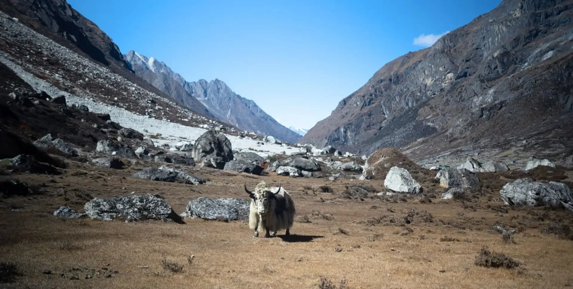
• Observe semi-nomadic Tibetan pastoral life, yak herding, and traditional spinning and weaving in Nar village.
• Combine two distinct restricted-area routes in a single 21-day program — the Manaslu and Nar Phu Combo Trek.
Manaslu Circuit and Nar Phu Trek Overview
The Manaslu Circuit to Nar Phu trek combines two of Nepal's most compelling restricted-area routes into a single 21-day program. The Manaslu Circuit follows the Budhi Gandaki River through the Gorkha district, circling the Manaslu massif before crossing the Larkya Pass at 5,106 m. After descending to the Marsyangdi valley, the route turns north into the Nar Phu valley — a seldom-visited corridor of high gorges, ancient villages, and Tibetan Buddhist culture.
The Manaslu Circuit Trek covers diverse terrain across a wide elevation range. The trail moves through subtropical river gorges, dense forest, open alpine meadows, and glacial passes. This range gives trekkers a full cross-section of Himalayan geography in a single journey. The Manaslu Circuit is one of Nepal's most rewarding high-altitude treks and remains less crowded than comparable routes.
The Nar Phu Trek is a Trek off the beaten trek within the Annapurna region. It branches north from Koto on the Annapurna Circuit and enters a progressively narrower and more remote gorge. Very few trekkers reach this area each year. Strict permit requirements keep visitor numbers low and the local culture comparatively intact.
Both sections of the Manaslu and Nar Phu Combo Trek require special restricted area permits. The Manaslu section requires a Manaslu Restricted Area Permit, a Manaslu Conservation Area Permit, and an Annapurna Conservation Area Permit. The Nar Phu section requires a separate Nar Phu Restricted Area Permit. All permits are arranged in Kathmandu prior to departure.
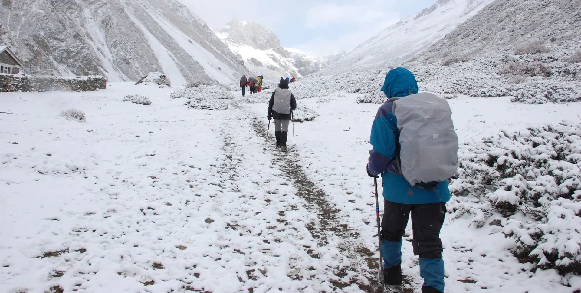
The best seasons for this combined trek are spring (March to May) and autumn (September to November). Spring offers rhododendron blooms and stable skies. Autumn brings sharp mountain views and reliable weather. Winter snowfall makes both the Larkya Pass and the Khangla Pass difficult or impassable. Monsoon conditions from June to August significantly increase trail hazards and reduce visibility.
The program runs over 21 days, including arrival and departure from Kathmandu. Two high passes define the physical demands of the route: the Larkya Pass (5,106 m) on the Manaslu Circuit and the Khangla Pass (5,306 m) in the Nar Phu valley. Both crossing days require early starts and long hours on the trail. Trekkers must be physically prepared for sustained high-altitude effort across multiple consecutive days.
The Manaslu Circuit Trek lies within the Manaslu Conservation Area, a protected zone established in 1998. The region supports local communities along routes that once served as age-old trans-Himalayan trading corridors for Tibetan salt traders. Entering the Nar Phu valley adds an entirely separate cultural dimension to the journey. The Nar and Phu communities have maintained their Tibetan heritage with minimal outside influence, making this a rare window into an older way of life.
Altitude acclimatization is built into the itinerary at several points. The rest day in Samagaon with an acclimatization hike to Manaslu Base Camp is a key scheduled stop before the Larkya Pass crossing. Similarly, the gradual ascent through the Nar Phu valley, from Koto to Meta, Kyang, Phu, and Nar provides staged acclimatization before the Khangla Pass. Trekkers experiencing symptoms of acute mountain sickness at any point must descend immediately and inform the guide.
Physical preparation should begin at least two to three months before departure. Cardio fitness, leg strength, and endurance training are all relevant. Experience with previous high-altitude trekking is strongly recommended for this combined route. The total elevation gain and loss across 21 days is substantial, and daily walking times on pass-crossing days can reach 11 hours or more.
Manaslu Circuit and Nar Phu Trek Itinerary
Tap any day to read the full programme.
Trekkers arrive at Tribhuvan International Airport in Kathmandu. A guide or company representative meets the group and transfers them to the hotel. The evening is free to rest after travel. Kathmandu sits at 1,400 m and serves as the logistics and permit base for the entire 21-day program.
The full day focuses on trek preparation. Staff complete all permit processing for both the Manaslu Conservation Area and the Nar Phu restricted zone. A thorough equipment check confirms that all trekkers carry appropriate gear for high-altitude travel. The pre-departure briefing covers the full itinerary, route conditions, altitude safety protocols, and cultural guidelines for the restricted areas.
Trekkers with spare time can visit key UNESCO-listed heritage sites near Kathmandu. Boudhanath Stupa, Pashupatinath Temple, and Kathmandu Durbar Square are all within a short taxi or auto-rickshaw ride from most hotels. These visits are optional and do not affect the next day's early departure.
The group departs Kathmandu early by private vehicle. The route follows the Prithvi Highway westward toward Gorkha. At Arughat, the road turns north and follows a rough track along the Budhi Gandaki River toward the mountains. The total drive to Machha Khola takes approximately 7 to 8 hours, with the final section on an unpaved road.
Machha Khola is a small roadside village along the Budhi Gandaki River at 869 m. It serves as the standard road terminus and starting point for the Manaslu Circuit Trek. The group spends overnight here before beginning the trek on foot the following morning.
A short drive carries the group from Machha Khola further up the valley to Bangsing at 1,720 m. The trek begins on foot from Bangsing. The trail follows the Budhi Gandaki River through narrow gorges and forested sections, passing small hamlets and tea houses. The route crosses several suspension bridges over side streams before reaching Deng.
Deng sits at 1,860 m and marks an important early transition point on the Manaslu Circuit. The Budhi Gandaki gorge begins to widen here, and the character of the settlements becomes more distinctly Tibetan. The village provides basic accommodation and a first look at the upper valley landscape.
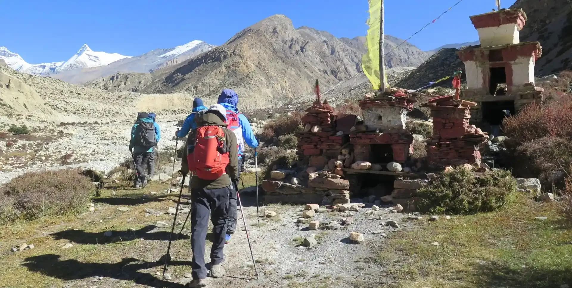
From Deng, the trail climbs steadily along the Budhi Gandaki. The route crosses the river by suspension bridge and ascends through mixed forest. A small monastery sits near the river crossing at Shringi, and mani walls with carved Tibetan inscriptions appear regularly along the path. Birdlife is active in the forest canopy throughout the morning.
The trail continues through denser stands of conifers and junipers. Ghap offers a suitable lunch stop before the afternoon climb leads to Namrung at 2,630 m. Namrung marks the beginning of the region's strong Tibetan cultural character. Stone houses with flat roofs and closely packed layouts signal a clear shift from the lower valley architecture.
The trail departs Namrung and continues north through a series of small stone villages. It passes through Barchham and Lihi before climbing to Sho village. At this elevation, the landscape opens and mountain views become significantly clearer. Manaslu, Manaslu North, and Himalchuli dominate the skyline to the north and east.
Beyond Sho, a short descent crosses a rocky ravine before the trail enters Lho at 3,180 m. Lho is an important settlement in the Nubri Valley and contains a large monastery with a resident Lama school of around 80 to 90 monks and scholars. The monastery sits directly below the south face of Manaslu, making Lho one of the most visually dramatic overnight stops on the Manaslu Circuit Trek. The view of the mountain face from the village is unobstructed and close.
Leaving Lho, the trail descends steeply to cross the glacial Thusang Khola. The Manaslu massif and Himalchuli tower over the valley on both sides. Beyond the crossing, the path follows the ancient trans-Himalayan trade route, staying close to the Tibetan border region. The trail passes over a moraine above a glacier-fed valley before arriving at Samagaon.
Also called Sama, Samagaon at 3,520 m is one of the most traditional Tibetan-influenced settlements in the Manaslu region. The village has a major monastery, several long mani walls, and a tight cluster of stone homes. Samagaon serves as the acclimatization hub of the Manaslu Circuit and is the base for the next day's hike to Manaslu Base Camp.
An early morning start allows the group to complete the round hike to Manaslu Base Camp and return to Samagaon in a single day. This acclimatization hike rises 1,280 m above the village. The trail climbs through boulder fields and moraine ridges as the valley narrows toward the glacier. The route follows the same trail to and from the base camp.
Manaslu Base Camp at 4,800 m sits directly below the Manaslu glacier. The position offers an unobstructed view of the mountain's north face and the surrounding high-altitude ridges. The full outing takes approximately 6 to 7 hours. The overnight stay in Samagaon allows the body to consolidate acclimatization before the long push to Dharamsala and the Larkya Pass.
From Samagaon, the trail crosses the Budhi Gandaki River for the final time on the Manaslu Circuit. The path follows the river upstream past ancient mani walls and carved stone inscriptions. The route rises through juniper scrub and tundra vegetation as the valley narrows toward the Larkya glacier system. Elevation gain is gradual but sustained throughout the day.
Dharamsala is also known as Larkya Phedi or the Larkya Rest House, sits at 4,460 m. This high camp serves as the final staging point before the crossing of the Larkya Pass. Accommodation here is basic. Trekkers should rest well, prepare warm layers, and be ready for an early departure the following morning.
The group sets out around 4:00 a.m. to avoid the strong afternoon winds that build at the pass. A long, gradual climb begins alongside a glacial moraine. The trail descends slightly to a glacial lake before rising steeply to the crest of the Larkya Pass at 5,106 m. This is the highest point of the Manaslu Circuit Trek and the most physically demanding section of the entire program.
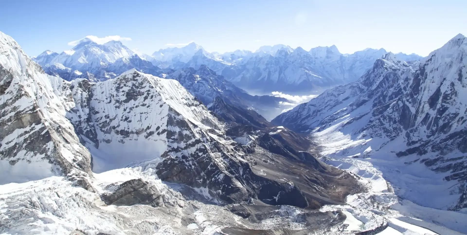
On clear days, the panorama from the pass stretches across Himlung Himal, Kanguru, Annapurna II, and the rear face of Manaslu. Four frozen lakes lie on the western descent below the pass. The descent drops around 650 m in a short distance before levelling onto open yak pastures. The day ends at Bimthang at 3,720 m. A cluster of summer herder shelters in an open alpine meadow. Despite the long and demanding day, the setting at Bimthang is peaceful, and the views back toward the pass remain impressive.
The toughest section of the Manaslu Circuit Trek is now behind the group. The trail descends steadily from Bimthang through open meadows and then enters pine and rhododendron forest. The path follows the Dudh Khola river downstream, passing through Hampuk and several small village clusters at lower elevations. Lower-altitude vegetation, terraced fields, and warmer air return as the descent continues.
The trail stays on the west bank of the Dudh Khola for most of the day before the group arrives at Ghowa at 2,505 m. The significant drop in altitude after the Larkya Pass crossing gives the body welcome relief. The overnight stop at Ghowa marks the full transition back to mid-valley conditions.
The descent continues from Ghowa through Karche and Gho toward the valley bottom. Near the bottom, the trail crosses to the east bank of the Dudh Khola and meets the junction of the Dudh Khola and the Marsyangdi river at Dharapani. At this point, the Manaslu Circuit Trek intersects with the Annapurna Circuit trail. Dharapani at 1,860 m is a lower valley with reliable vehicle access.
From Dharapani, the group transfers by 4WD vehicle along a rough mountain road to Koto at 2,600 m. The drive follows the Marsyangdi Valley through several villages on the Annapurna Circuit trail. Koto has a checkpoint where permits are inspected before entry into the Nar Phu restricted zone. This marks the beginning of the Nar Phu Trek, the second major section of the Manaslu Circuit to Nar Phu Valley program. At Koto, the Annapurna Circuit route continues west while the Nar Phu route turns north into a narrower and steeper gorge.
The route follows the western bank of the Nar Phu Khola through dense forest and past several temporary settlements. These seasonal hamlets are used by the people of Nar and Phu during the winter months when they descend from the high villages. Sections of the trail are cut directly into cliff faces above the river, requiring careful footing. The path gains elevation steadily throughout the day.
Meta sits at 3,560 m and serves as a suitable acclimatization stop after the transition from Koto. A short optional trail leads partway toward the Kang Guru base camp at approximately 4,000 m and adds time and elevation to the day. Very few other trekkers are encountered along this section of the route. The isolation is one of the defining characteristics of the Trek off the beaten trek into the Nar Phu valley.
The trail continues up the valley on a mostly gradual ascent. After a level section along the Phu Khola, the route passes through the temporary Khampa settlement of Chyako. The trail steepens beyond Chyako and climbs through a second section known as Upper Chyako before reaching the plateau at Kyang. The total walking time from Meta to Kyang is approximately 5 to 6 hours.
Kyang lies at 3,820 m on a broad plateau above the Phu Khola. It serves as the main winter settlement of the people of Phu village. A long mani wall marks the entrance to the area. During the migration season, yak herding families moving between summer and winter pastures may be observed, reflecting the traditional Tibetan pastoral way of life.
The route continues up the valley from Kyang toward Phu village. The trail passes several mani walls and chortens before the rock walls of the gorge narrow and forces the path to climb above the canyon floor. The Phu Gate — an ancient stone gateway, marks the entrance to the upper Phu valley. Beyond the gate, the landscape opens to reveal the three clusters of Phu village, with the ruins of old forts visible on the ridge above.
Phu village sits at 4,080 m and takes roughly four hours to reach from Kyang. The village consists of around 30 stone-built houses constructed in the Tibetan architectural style. The settlement is home to approximately 150 people who maintain a semi-nomadic lifestyle. The remainder of the afternoon is free to explore the village lanes and acclimatize to the altitude.
A full day is dedicated to exploring Phu and its immediate surroundings. The primary excursion is a visit to Phu Monastery, one of the oldest and most important religious sites in the Nar Phu valley. The monastery sits above the village and overlooks the surrounding high peaks. Trekkers can observe traditional Buddhist artwork, prayer halls, and religious objects during the visit.
The comparatively intact culture and traditional architecture of Phu make it one of the most rewarding stops in the Manaslu and Nar Phu Combo Trek. The afternoon allows time to walk through the village, observe daily activities, and interact with residents where welcomed. The group returns to camp at Phu for the night.
The group retraces the trail from Phu back down to Kyang. The descent is considerably faster than the ascent and takes approximately 3 hours. The route passes back through the Phu Gate and descends along the same gorge path used on the way up. Views looking outward toward the lower valley take on a different quality on the return journey.
The camp at Kyang provides a comfortable base before the trail divides the following day toward Nar village. Trekkers have time in the afternoon to rest or walk around the plateau settlement.
Today's route leaves the Phu Khola valley and heads toward Nar village on the opposite side of the gorge. The trail descends to a bridge crossing at Nar Phedi before climbing steeply out of the narrow gorge. The ascent leads through open terrain and upward pasturelands before arriving at Nar village. The total walk takes approximately 5 to 6 hours.
Nar village sits at 4,110 m and is enclosed by snow-capped peaks on several sides. Fields of mustard and barley grow around the settlement, giving it a distinctly agricultural character compared to Phu. The village has several colorful gompas worth visiting. From the hill above the village — marked by prayer flags — trekkers get expansive views of the surrounding peaks. The people of Nar are known for spinning and weaving, and local crafts are often visible throughout the village.
This is the longest and most demanding day of the Nar Phu Trek. The group starts early and ascends over 700 m to the summit of the Khangla Pass at 5,306 m. The climb passes through ancient glacial moraines before rising steeply to the pass. From the top, trekkers see sweeping panoramas of Annapurna II, Gangapurna, Tilicho Peak, and the peaks surrounding Tilicho Lake. The Annapurna Circuit trail and the Hongde airstrip are visible far below in the valley.
The descent from the pass is initially steep and loose, often over scree and sometimes snow-covered. Careful footing is required throughout the upper descent. The trail levels out onto a broad plateau where the group stops for lunch before contouring along the hillside to Ngawal. Ngawal features cobbled streets, prayer wheels, and classic Tibetan-influenced architecture. Camp is set up in Ngawal for the night.
The trek concludes today. From Ngawal, the group descends to join the Annapurna Circuit trail and reaches the road at Chame or the nearest suitable vehicle pick-up point. The group boards 4WD vehicles and begins the long drive back to Kathmandu along the Marsyangdi River valley. The drive takes approximately 11 to 12 hours, including stops.
Trekkers arrive in Kathmandu in the late afternoon or early evening. After checking in to the hotel, the group has time to rest and freshen up. A celebratory dinner marks the successful completion of the Manaslu Circuit to Nar Phu Valley route.
The 21-day Manaslu and Nar Phu Combo Trek program ends after breakfast on the final day. Airport transfers to Tribhuvan International Airport are provided according to individual flight schedules.
Manaslu Circuit and Nar Phu Trek Route Map
Route Map
Altitude Profile
Inclusions
• Private airport transfers in Kathmandu (arrival & departure)
• Private jeep transfer from Kathmandu to Machha Khola and onward to Bangsing; mid-trek jeep transfer from Dharapani to Koto, and return by jeep from Ngawal to Besishar and to Kathmandu
• 3 nights at a 3-star Kathmandu hotel (twin-share, bed & breakfast)
• 17 nights twin-share lodge accommodation during the trek
• Full-board meals throughout the trek (breakfast, lunch, dinner, tea & coffee)
• Drinking water and hot water for bottle refills at all lodge stops
• All required permits (Manaslu & Nar Phu Valley Restricted Area Permits, Manaslu Conservation Area Permit, Annapurna Conservation Area Permit & TIMS Card)
• Senior English-speaking, government-licensed lead guide, fully covered (wages, meals, accommodation & insurance)
• Assistant guide for every 4 clients, fully covered
• One porter per 2 clients (max 15 kg/client), fully covered
• Emergency medical kit throughout the trek
• Supplemental oxygen, mask & regulator for emergency use
Exclusions
• International Airfare to/from Kathmandu
• Nepal entry visa fee
• Personal travel, medical & emergency evacuation insurance (mandatory; arrange prior to departure)
• Lunch & dinner in Kathmandu
• Additional Kathmandu nights beyond the itinerary (available on request)
• Single room supplement or forced single room charges, where applicable
• Personal trekking gear & clothing (sleeping bag, boots, trekking poles, down jacket, etc.)
• Alcoholic beverages, specialty hot drinks & bottled/canned drinks during the trek
• Lodge extras charged locally: hot showers, battery charging & Wi-Fi
• Any personal expenses not listed under inclusion
• Guide & porter gratuities (recommended: USD 100/guide, USD 65/porter — at client's discretion)
Date & Price
Want a Private or Tailored Trip?
Book on your own dates, bring a private group, or adjust the itinerary. Our team replies within 24 hours.
Reviews
Write a review
No reviews yet. Be the first to share your experience.
Gallery
No gallery images available.
From (per person)
People also viewed